The Appian Way
312 BC From Rome to Capua, later to Brindisi
In short
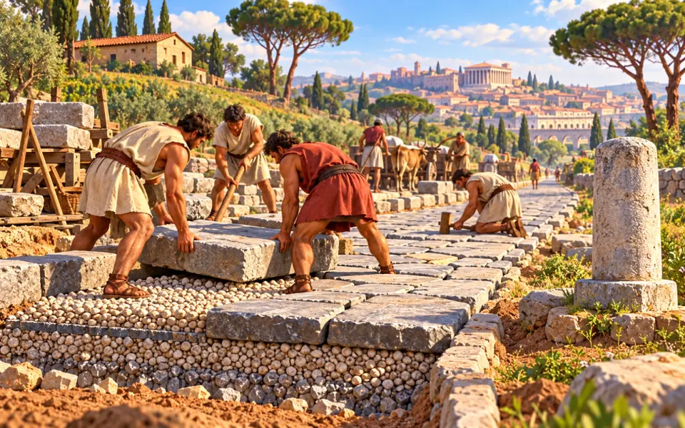
The official Appius Claudius Caecus had a road built from Rome to Capua; later it was extended to Brindisi. The Romans called it the ‘queen of roads’, in Latin regina viarum. Beneath the large paving stones were layers of gravel and packed earth that made it solid and quick to dry after rain. Along the way stood milestones, small columns that marked the distances.
Why it matters Roman roads let soldiers, goods and news travel quickly across the whole empire.
Source: UNESCO, “Via Appia. Regina Viarum”
Study card about 6 minutes of reading
The story
The road that joined Rome to the sea
In 312 BC the censor Appius Claudius Caecus began work on a road that was destined to become famous throughout the ancient world. The censor was one of the magistrates of the Republic who counted the citizens and also looked after public works. Appius Claudius belonged to a great family, the gens Claudia, and the road took his name: the Appian Way.
In fact it did not start from scratch. The first stretch repaired and widened an existing route between Rome and the Alban Hills, the hills south of the city. Then the road was extended to Capua, in Campania, one of the richest cities of Italy at that time. In the following decades the Appian Way kept growing: in the middle of the 3rd century BC it reached Beneventum, which was then called Maleventum. Later it reached Tarentum and, around 190 BC, the port of Brundisium, where ships left for Greece and the East.
A road built to last
In the end the Appian Way from Rome to Brundisium measured about 540 kilometres. It was about four metres wide, that is, fourteen Roman feet, enough for two carts to pass each other without difficulty. On either side ran two raised pavements, the crepidines, for people on foot.
At first the surface was gravel, that is, small stones that let water through. From about 296 BC, with the intervention of the Ogulnius brothers, two magistrates, large slabs of volcanic stone, called basoli, began to be laid fitted tightly together, starting from the stretch near Rome. Underneath there was not bare ground: the Romans dug a kind of trench and filled it in layers of gravel and earth, so that rainwater drained away and the bed did not turn into mud. A road like this could bear heavy carts, marching legions and traffic for centuries.
The Appian Way was among the first roads to have milestones, stone columns placed at regular intervals to mark distances, like today's signs with kilometres. A Roman mile was about one and a half kilometres, and a traveller always knew how far it was to the next stop. Along the route there were towns and resting places, such as Aricia, Tarracina, Formiae, Minturnae, Sinuessa and Venusia.
Queen of roads
The Romans called it regina viarum, that is, “queen of roads”. For travellers of the time it was an impressive work. Soldiers, merchants, officials, pilgrims and messengers passed along the Appian Way. The government of Rome could move legions to the south in a few days and keep control of the conquered territories. News, goods and people travelled faster.
The road also has a place in the darkest memories of Roman history. In 71 BC, after the defeat of the revolt led by Spartacus, about six thousand captured rebel slaves were put to death along the stretch between Rome and Capua, as a terrible warning to anyone who thought of rebelling. It is an episode we remember with respect for the victims, and it reminds us that the road was also an instrument of power.
After the empire
Augustus, Vespasian, Trajan and Hadrian restored the Appian Way and extended it. Between AD 108 and 110 Trajan had a variant built closer to the coast, the Via Appia Traiana, between Beneventum and Brundisium. After the fall of the Western Empire, in AD 476, maintenance stopped and some stretches were abandoned. Even so, in AD 535, the Byzantine historian Procopius still described it as being in good condition.
In later centuries new roads were built with the same name: the Appia Nuova, by order of Pope Gregory XIII in 1574, and the Appia Pignatelli, opened in 1700. The stretch closest to Rome, the Via Appia Antica, has been very well preserved. Along it are bridges, monumental tombs and the catacombs, underground tunnels where the first Christians buried their dead: those of St Callixtus, St Sebastian and Praetextatus.
In 1988 the Lazio Region created the Appia Antica Regional Park, thanks also to the battles of Antonio Cederna, a journalist and environmentalist who had campaigned against the building of private villas along the road. In 2016 the Appian Way Archaeological Park was also created. In July 2024 UNESCO declared “Via Appia. Regina Viarum” a World Heritage Site, taking in the Appia Antica and the Traiana. Today the Appian Way can be travelled on foot, by bicycle or by car: in some stretches, such as in the Agro Pontino, it is still used by modern traffic.
Why it happened
Rome, in the 4th century BC, was extending its rule to the south, into Campania, and needed to connect itself to the new territories quickly and safely. Troops had to be able to arrive fast where they were needed, and the colonies that the Romans founded in the conquered lands had to stay in contact with the city.
The fact that the road was built with so much care was no accident: the Romans had understood that control of a territory depends on being able to reach it. For this reason they built a network of roads first of all, and then based much of their power on it. The Appian Way is the first famous example of this idea.
What changed
Roman roads became the most important communication network of the ancient world. Over the centuries Rome built thousands of kilometres of them across the empire, and many gave rise to towns and trade routes: even today many Italian and European roads follow the course of the ancient ones. The way they were built, in layers and with good drainage, was a model for centuries.
The Appian Way left its mark on culture. Along its course came tombs, villas, places of worship and, later, the Christian catacombs. For artists and travellers of the modern age, walking on the Appian Way meant touching antiquity with their own hands. Today it is a chance to discover history on foot, in a great archaeological park.
The UNESCO recognition of 2024 shows that ancient monuments are not just memories, but treasures to be protected. A long effort of protection, in which the passion of scholars and citizens counted for a great deal, has saved this road from concrete and from being forgotten.
Key people and places
People
- Appius Claudius Caecus
- Censor in 312 BC, of the Claudian family. He gave the road its name and was a leading figure in Roman politics of those years.
- The Ogulnius brothers
- Magistrates who from about 296 BC had the road surface remade with large slabs of volcanic stone.
- Antonio Cederna
- Journalist and environmentalist of the 20th century: he fought so that the Appia Antica would become a park and not be taken over by private villas.
- Procopius
- Byzantine historian who in AD 535 described the Appian Way as still in good condition.
Places
- Capua
- Great city of Campania, the first point of arrival of the road beyond Rome.
- Brindisi
- Port in Apulia from which ships left for Greece and the East: the Appian Way reached it around 190 BC.
- Catacombs of St Callixtus and St Sebastian
- Underground tunnels along the Appia Antica, used by the first Christians for burials.
- Appia Antica Regional Park
- Protected area of about 4,580 hectares at the gates of Rome, established in 1988.
Good to know
- Appius Claudius was nicknamed “Caecus”, that is, blind, but this did not stop him from getting ahead and giving his name to a road that has lasted for over two thousand years.
- From about 296 BC the surface, in the stretch near Rome, was no longer simple gravel but large blocks of volcanic stone laid interlocking, the basoli.
- The Appian Way was among the first roads to have milestones, which marked distances.
- The total length from Rome to Brundisium was about 540 kilometres.
- In 2024 the Appian Way became part of the UNESCO World Heritage.
Find out more
- Wikipedia, “Appian Way” en.wikipedia.org
- Wikipedia, “Roman roads” en.wikipedia.org
- Wikipedia, “Appius Claudius Caecus” en.wikipedia.org
- Wikipedia, “Catacombs of Rome” en.wikipedia.org
Related events
- Spartacus leads the revolt73–71 BC · Ancient RomeAfter the revolt of Spartacus, the prisoners were put to death along the Appian Way.
- The Aqua Marcia aqueduct144–140 BC · Ancient RomeAqueducts too, like the Appian Way, show Roman engineering skill.
- Roman concreteabout 150 BC · Ancient RomeFor its public works Rome also used concrete.
- The Pax Romana27 BC – AD 180 · Ancient RomeGood roads were one of the foundations of the empire's long peace.
- Greek colonies in the Westabout 750 BC · Sea civilisationsTarentum, a stop on the Appian Way, was a colony founded by the Greeks centuries earlier.
Before and after, in the era “Ancient Rome”
Event 4 of 25
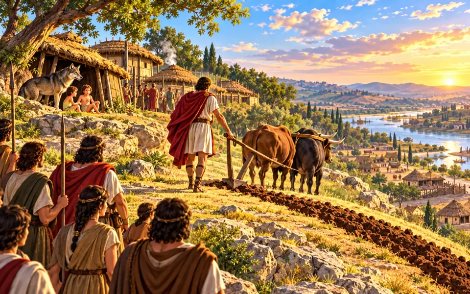 BeforeTraditional founding of Romeabout 753 BC
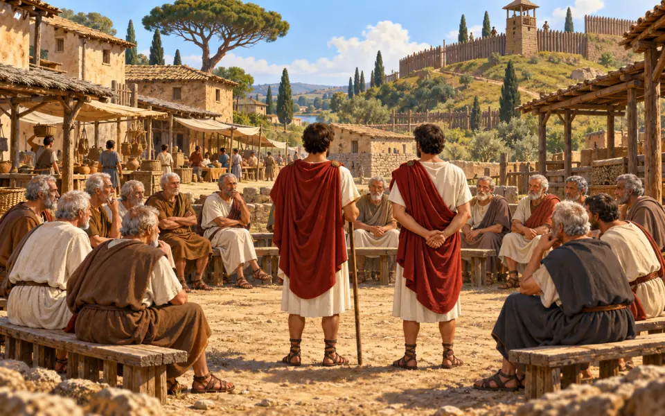 BeforeBirth of the Roman Republicabout 509 BC
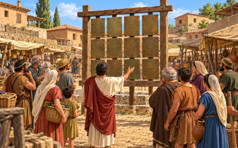 BeforeThe Laws of the Twelve Tablesabout 450 BC
- You are hereThe Appian Way312 BC
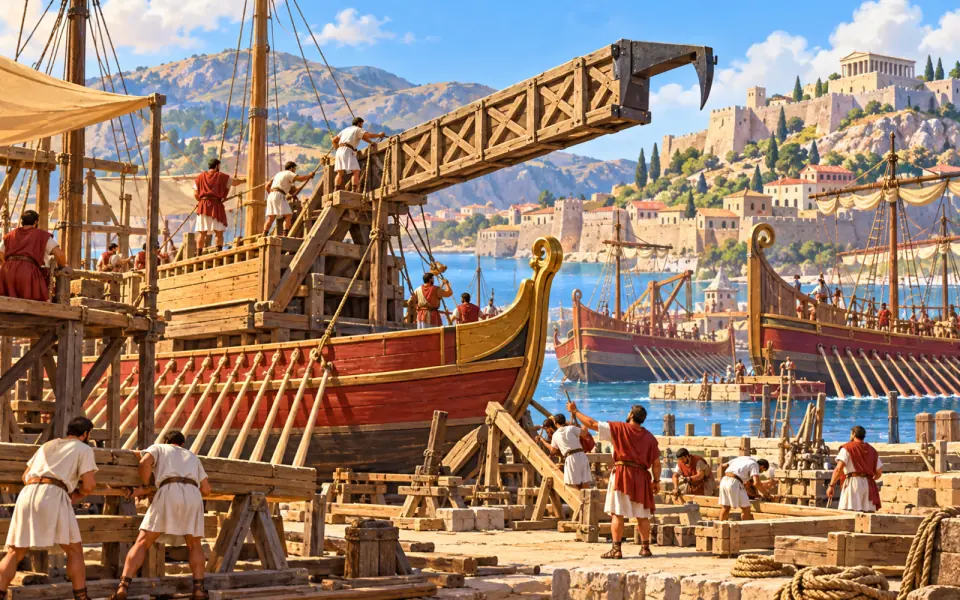 AfterThe First Punic War264–241 BC
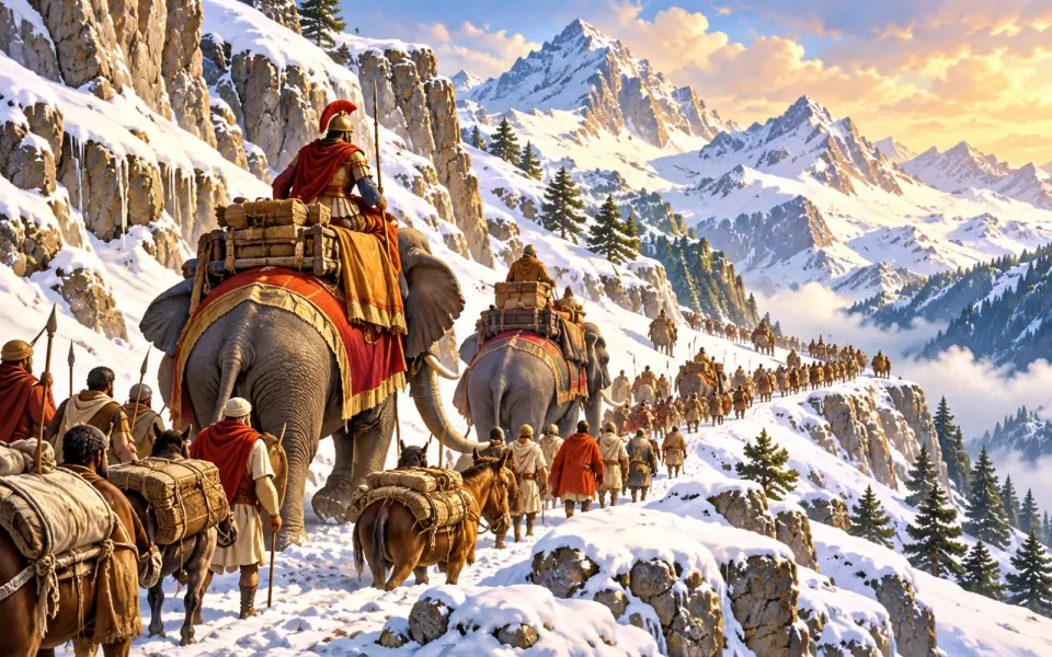 AfterHannibal crosses the Alps218 BC
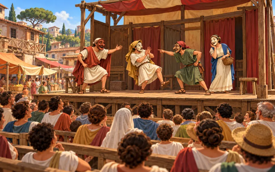 AfterPlautus and comedyabout 200 BC
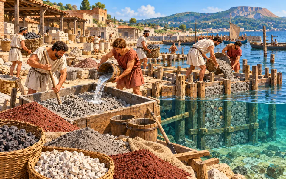 AfterRoman concreteabout 150 BC
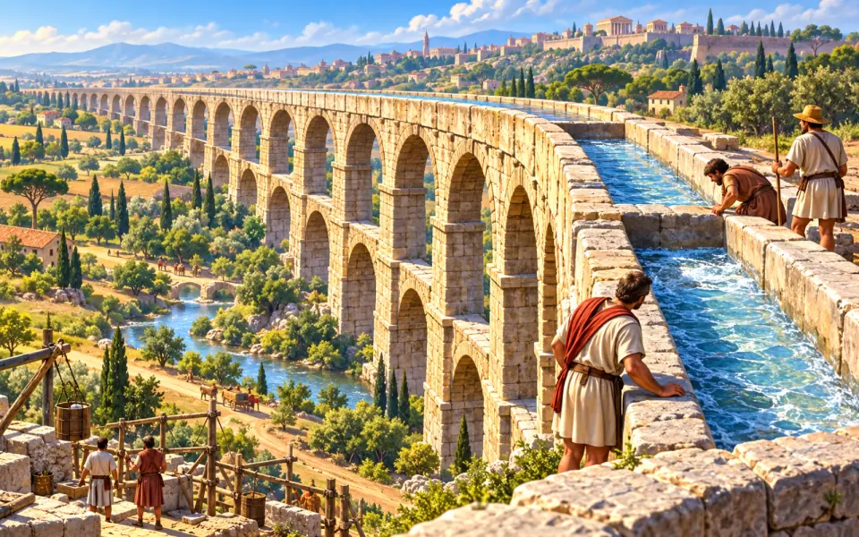 AfterThe Aqua Marcia aqueduct144–140 BC
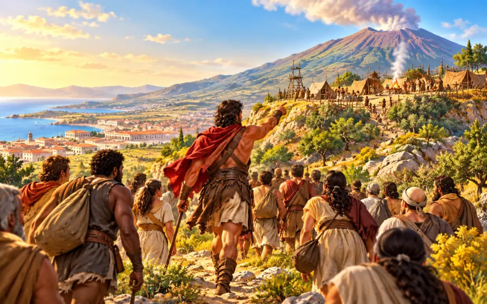 AfterSpartacus leads the revolt73–71 BC
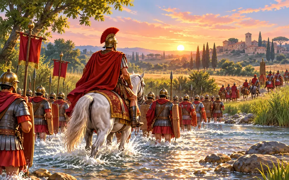 AfterCaesar crosses the Rubicon49 BC
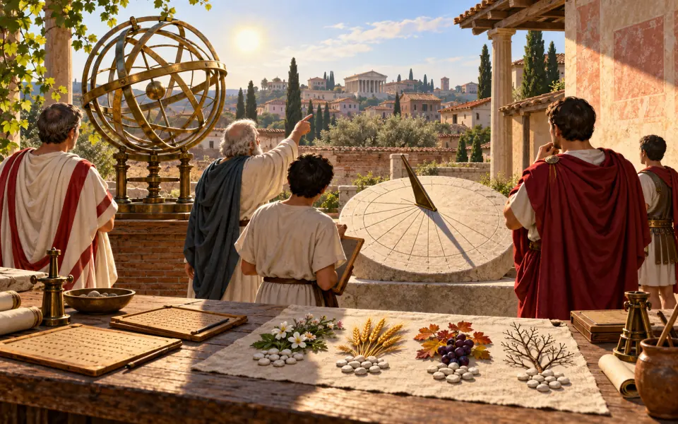 AfterThe Julian calendar46 BC
 AfterThe murder of Julius Caesar44 BC
 AfterAugustus, the first emperor27 BC
 AfterThe Pax Romana27 BC – AD 180
 AfterVirgil and the Aeneid19 BC
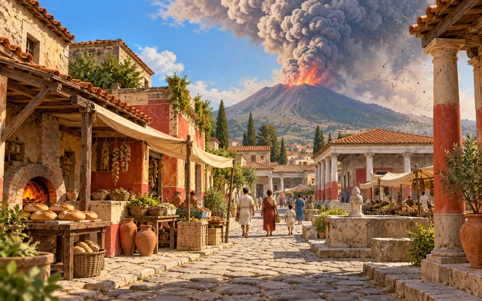 AfterPompeii buried by VesuviusAD 79
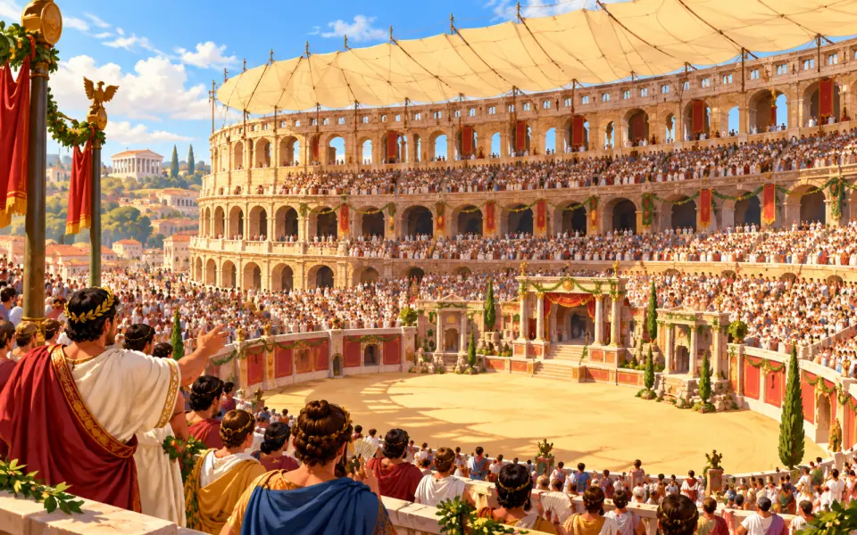 AfterThe Colosseum opensAD 80
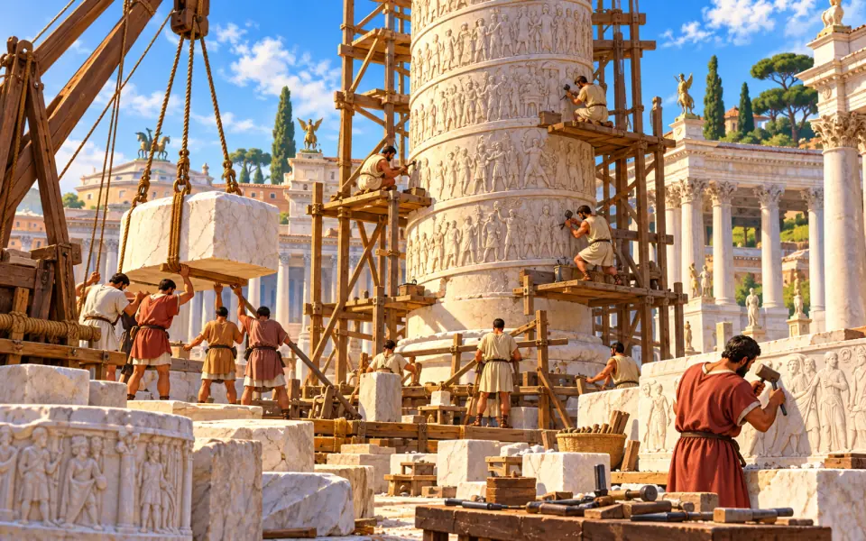 AfterTrajan's ColumnAD 113
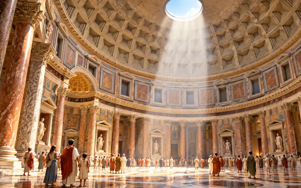 AfterThe Pantheonabout AD 125
 AfterGalen, a doctor in Romeabout AD 162
 AfterThe Baths of CaracallaAD 216
 AfterThe book with pages (the codex)about AD 300
 AfterThe Edict of MilanAD 313
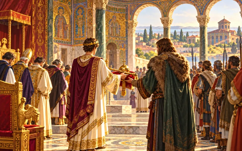 AfterFall of the Western Roman EmpireAD 476
Listen / Read next
- Music to read by: Cinematic JourneyEpic film-style music, no lyrics, by Ciro Simone IrmiciSpotifyYouTube Music
Meanwhile, elsewhere in the world
Other events of the era “Ancient Rome”
- Traditional founding of Rome
- Birth of the Roman Republic
- The Laws of the Twelve Tables
- The First Punic War
- Hannibal crosses the Alps
- Plautus and comedy
- Roman concrete
- The Aqua Marcia aqueduct
- Spartacus leads the revolt
- Caesar crosses the Rubicon
- The Julian calendar
- The murder of Julius Caesar
- Augustus, the first emperor
- The Pax Romana
- Virgil and the Aeneid
- Pompeii buried by Vesuvius
- The Colosseum opens
- Trajan's Column
- The Pantheon
- Galen, a doctor in Rome
- The Baths of Caracalla
- The book with pages (the codex)
- The Edict of Milan
- Fall of the Western Roman Empire